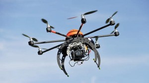
- Technical mapping
- Thematic Cartography
- Numerical model of the terrain
- Gis
- Significant archaeological sites
- Relief of artistic and architectural heritage
- Monitoring sites of ecological and environmental
- Special Applications
- Road accidents
- Thermography
- Laserscan
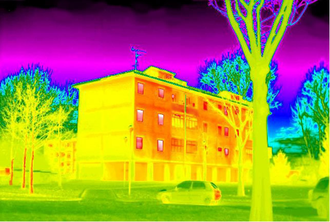
Termografia drone